
Aqualta is a play on acqua alta, the term for the increasing high tides flooding Venice. This series of images explores what a coastal metropolis might feel like a hundred years from now with rising sea levels. The images illustrate New York adapting to rising waters. Aqualta imagines city dwellers migrating to higher and dryer elevations as water levels gradually increase. Piers, boardwalks, and systems of navigable canals reestablish the transportation network lost below. Residents repurpose rooftops for farms and greenhouses. Wetland ecologies and oyster beds thrive and take root to better protect coasts from future storms. The cities are shown without combustion—no engines or power plants; all emissions are rendered obsolete—resulting in cleaner, quieter neighborhoods. Aqualta reveals an adaptable city infrastructure capable of acclimatizing to nature.
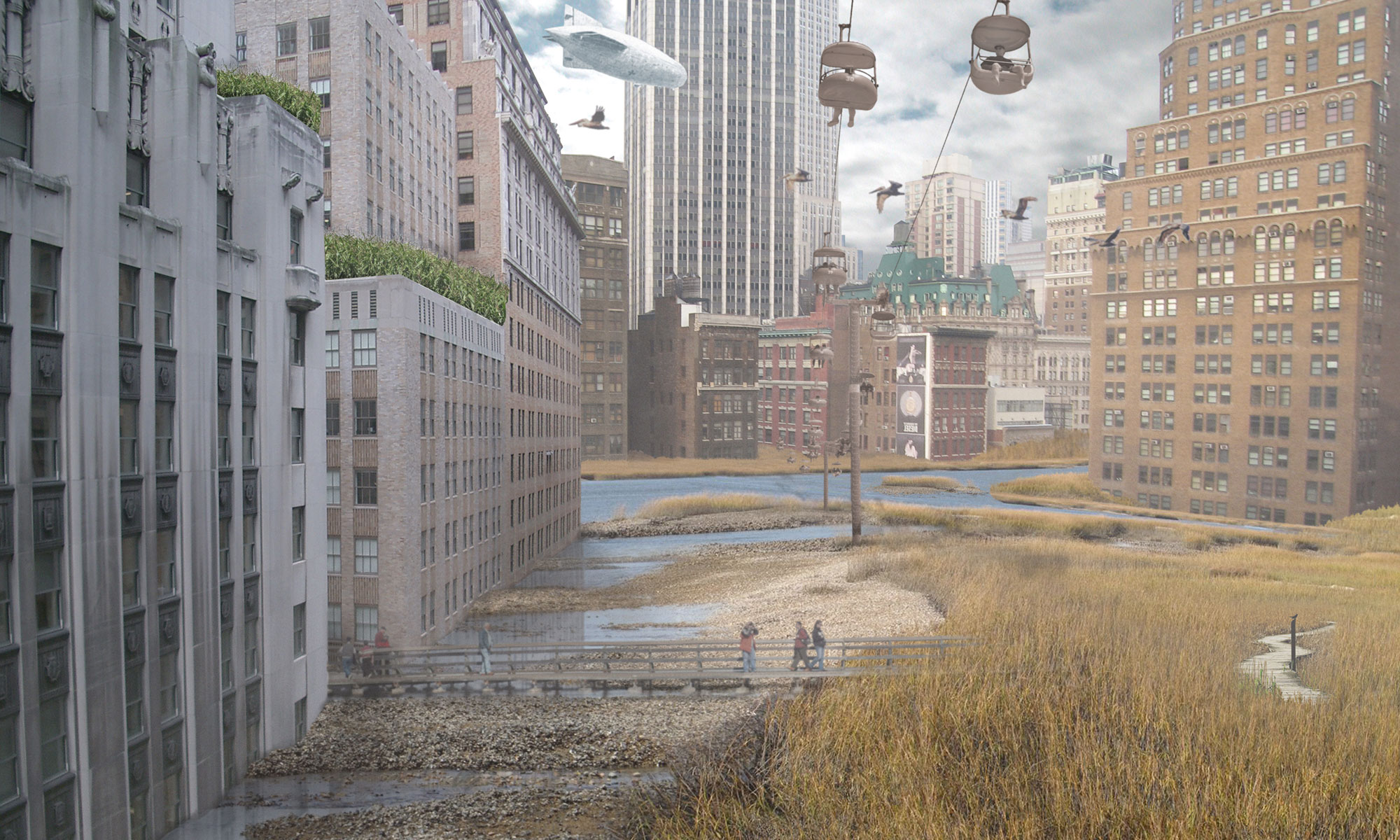
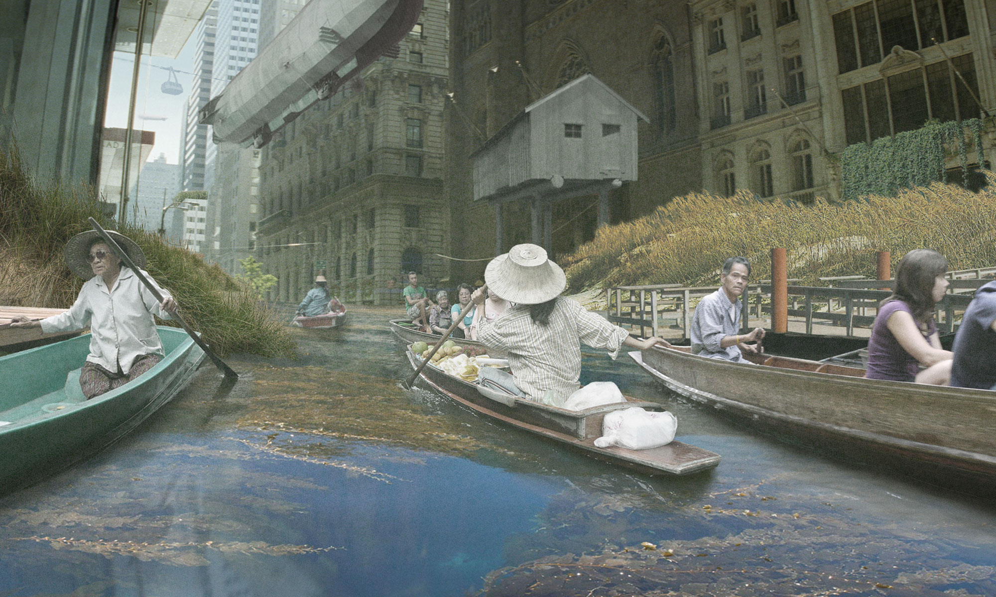
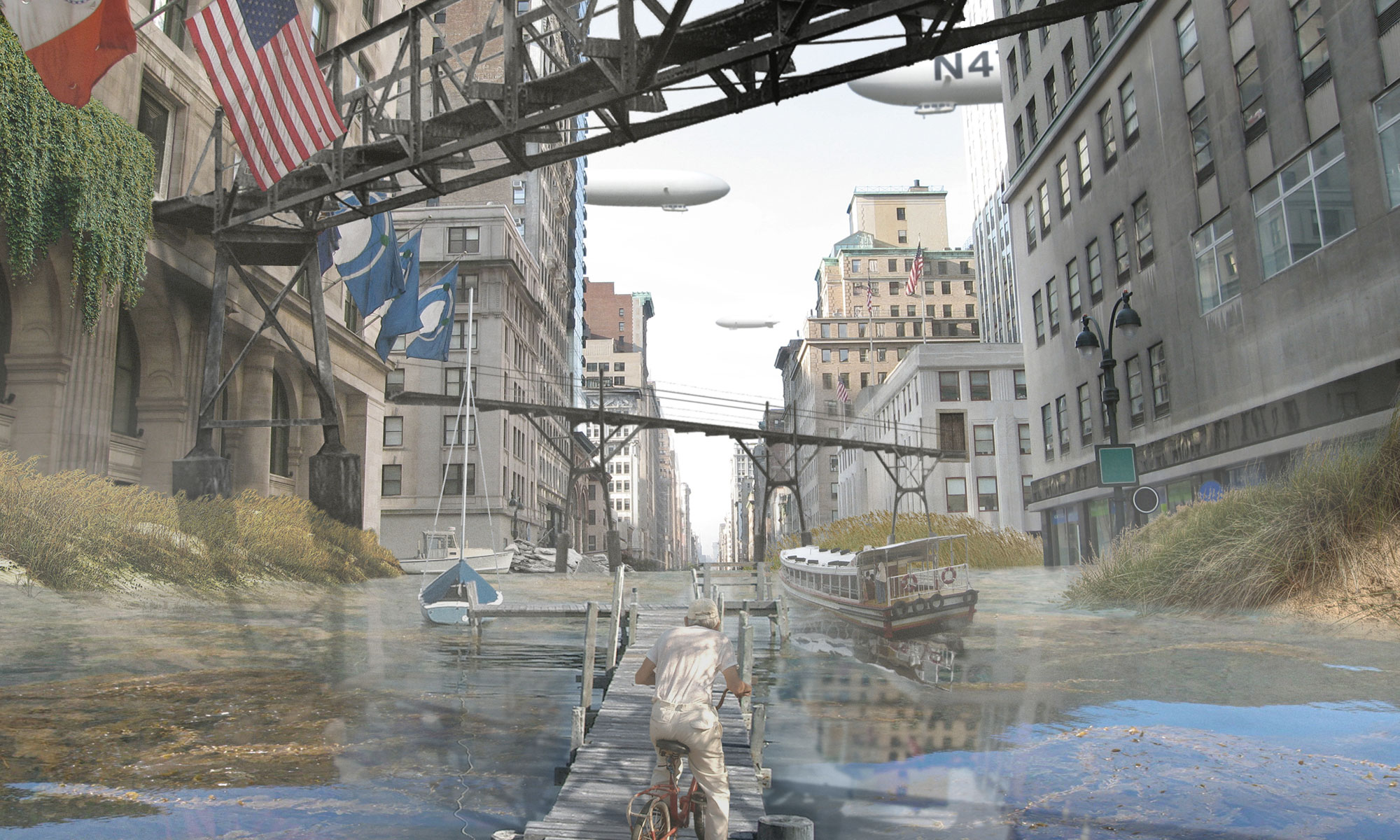


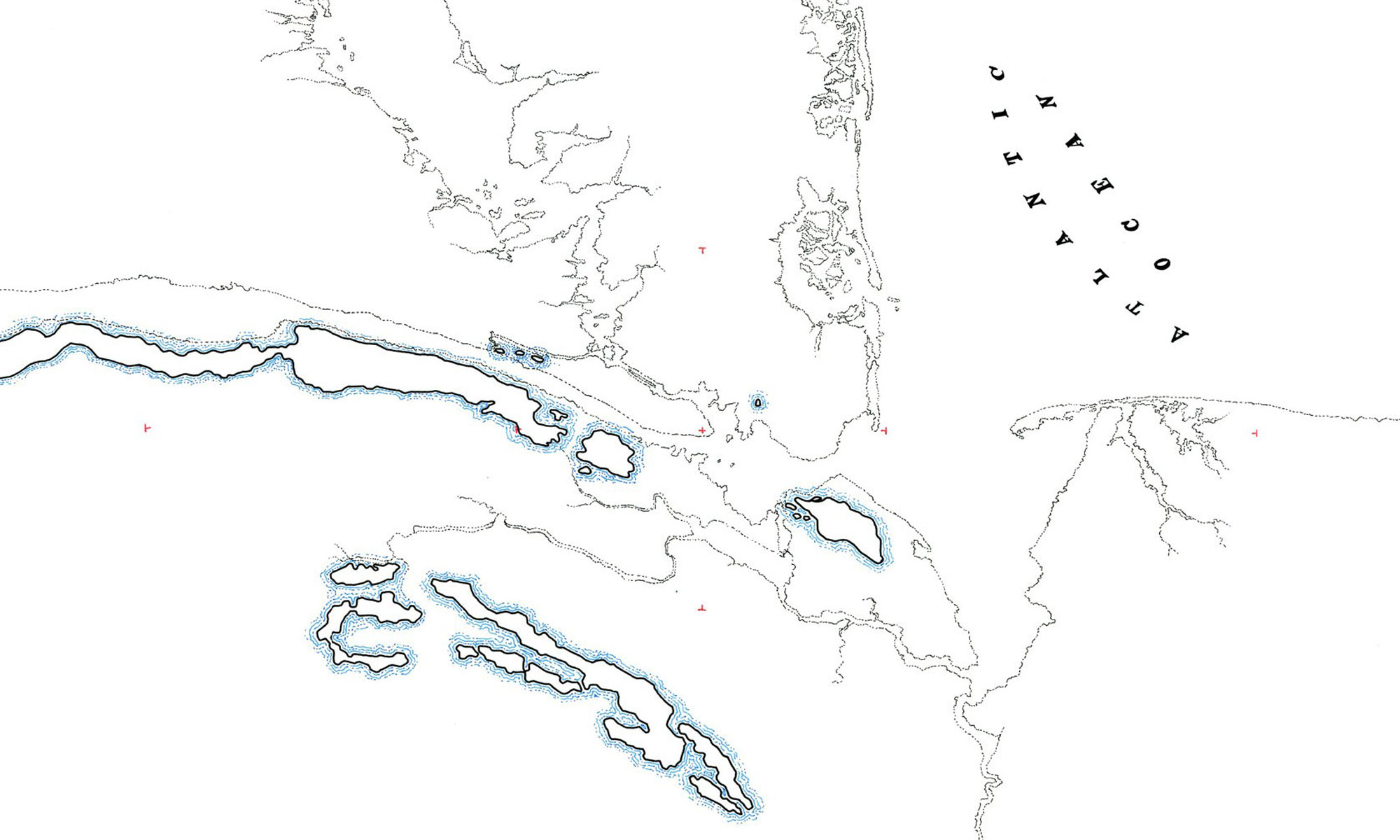
Figure 1: Map showing metropolitan New York City area with sea level rise at 200 feet (maximum predicted)

Figure 2: Map showing upper Manhattan with sea level rise of 60 feet (mid-range prediction)
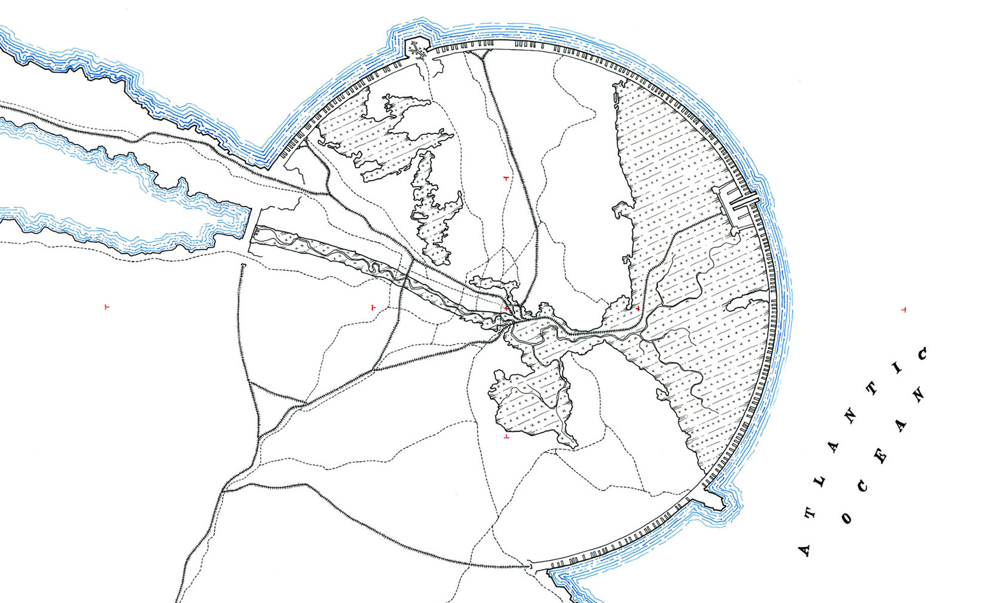
Figure 3: Proposal to drain New York Sound and build inhabited wall around greater New York -- Manhattan is shown in the center of the 12 mile radius circle
Location: New York, NY / Tokyo, Japan
Date: November 2009
Project Team:
(with Studio Lindfors)
Principal: Ostap Rudakevych
Collaborators: Gretchen Stump